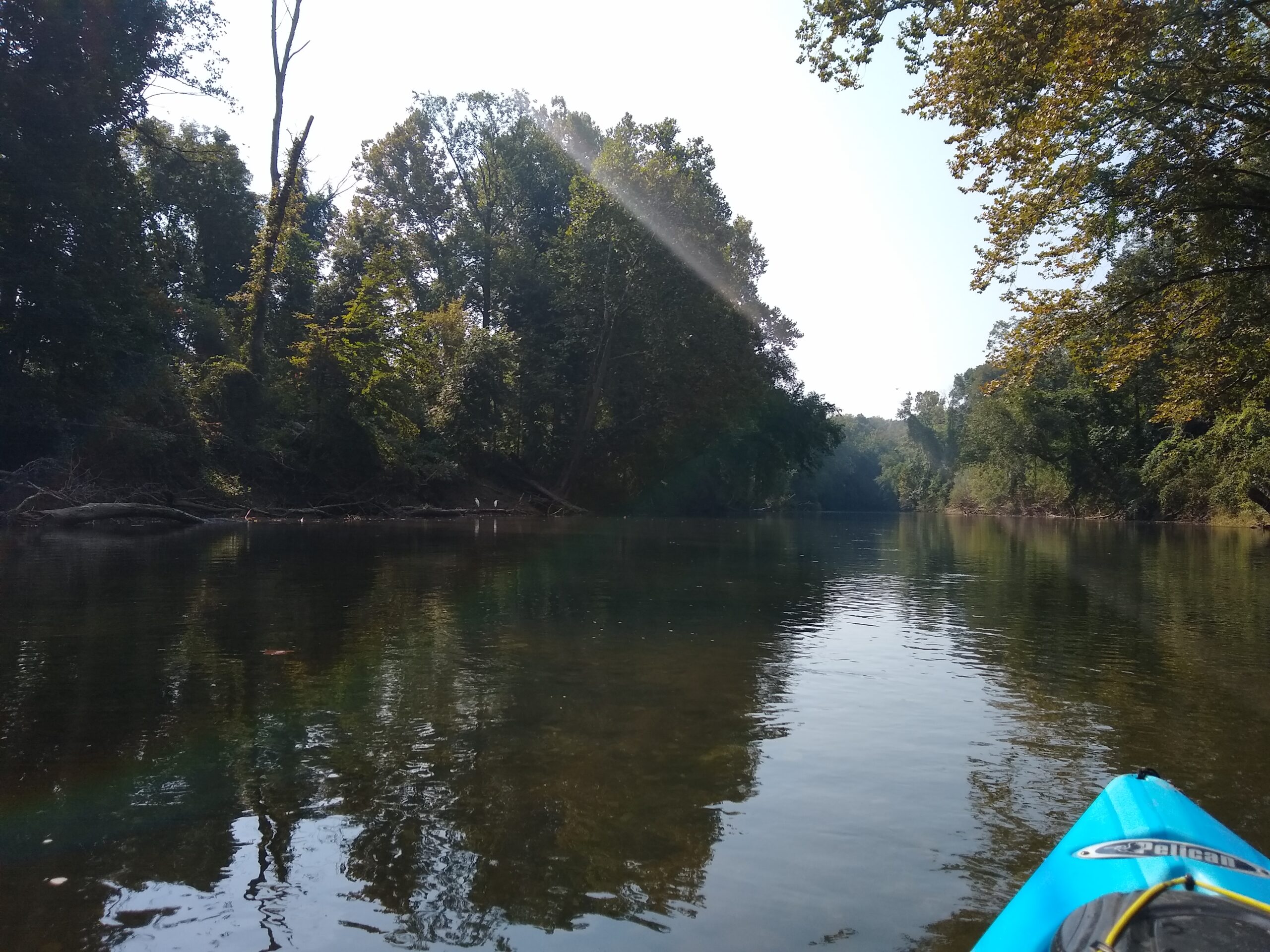
The Swatara Water Trail is a 60 mile segment of Swatara Creek from Pine Grove, Schuylkill County, to the PA Fish & Boat Commission’s Middletown Access, in Dauphin County. It is one of 28 water trails designated as part of the PA Water Trail Partnership. The water trail travels past farm and bank barns, Union Canal locks, forested riparian buffers, Swatara State Park, the abandoned Lebanon to Tremont Railroad, Lebanon Valley Rails to Trails, Harper’s Tavern, limestone outcrops, and the only lava deposits in the state.
Blue signs mark the official access points and printed maps can be found in the attached map boxes. A PDF of the map can be found below.
Swatara Water Trail Interactive Map
All access points, points of interest, campgrounds and approximate mile markers can be viewed on the interactive map by selecting the layers on the left.
Plan Your Trip
Planning your outing on the Swatara Water Trail requires taking many factors into account. These include choosing your entry and exit access points, creek and weather conditions and equipment considerations.
Safety
PA Fish and Boat requires the following:
Each person in a canoe, kayak, rowboat or SUP must have a wearable, USCG-approved Life Jacket (PFD – Personal Floatation Device). Life jackets must be the appropriate type, size and fit for the person intended. Children 12 years of age and younger must wear a life jacket when underway. Each person must have a sound making device (whistle or horn).
Mandatory Cold Weather Life Jacket Wear
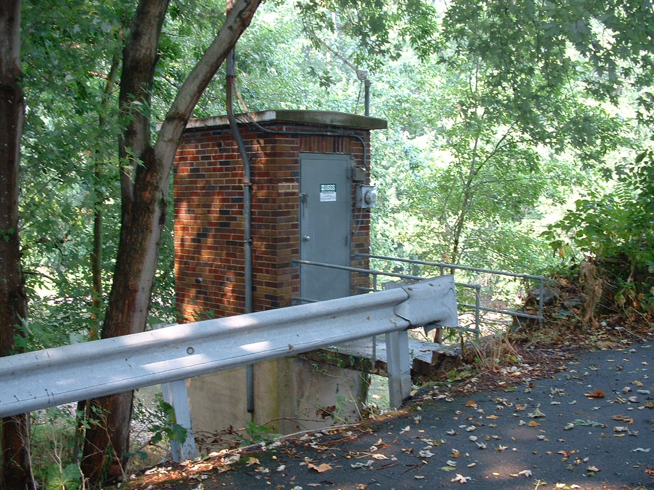
Boaters must wear a life jacket on boats less than 16 feet in length or any canoe or kayak from November 1 through April 30. Check Rt 743 gage and SRBC gauge below for current temperatures.
PA Fish and Boat Paddlesports Requirements
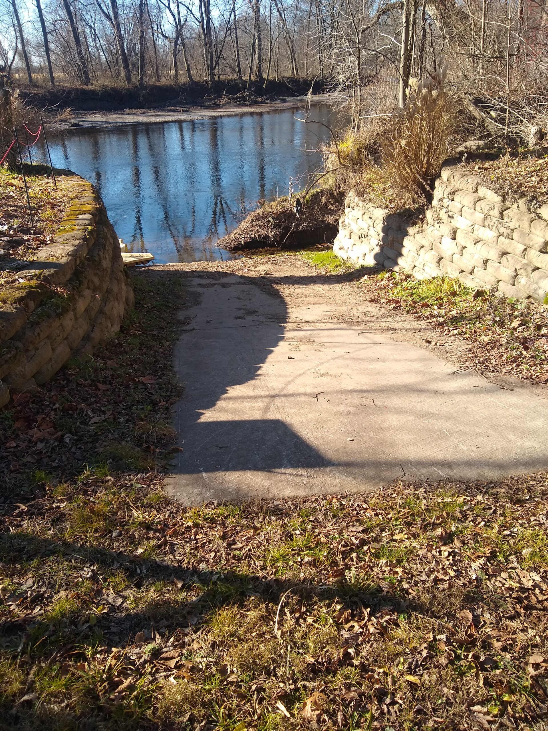
Swatara Water Trail Access Points
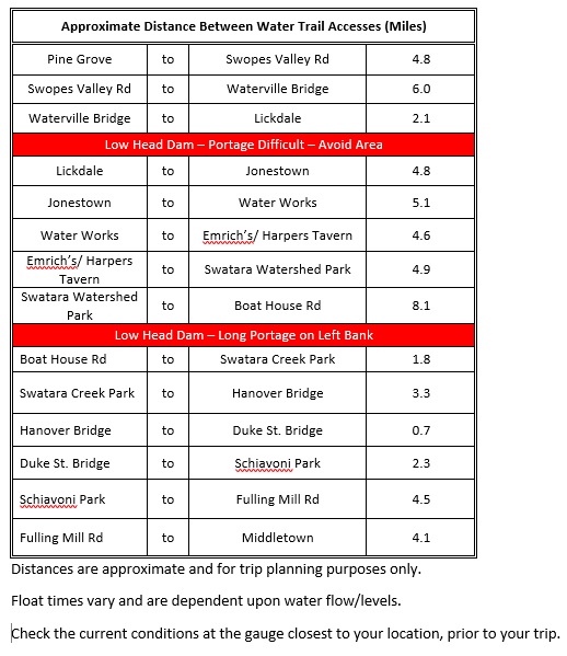
The following chart lists approximate mileage between accesses. Float times depend on creek flow, type of craft and personal preferences on paddling and stops.
Water Level and Conditions
Check the water levels, flow and temperature (Rt 743 and SRBC gauge only) prior to going to the creek. Use the gauge closest to where you intend to launch.