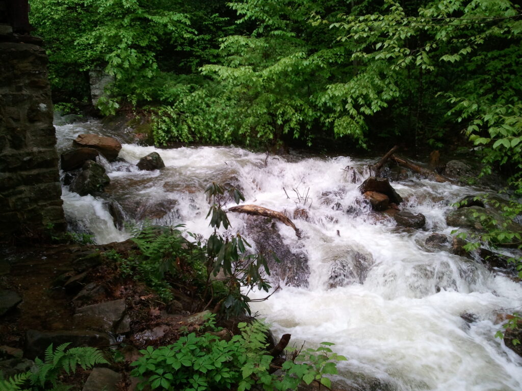
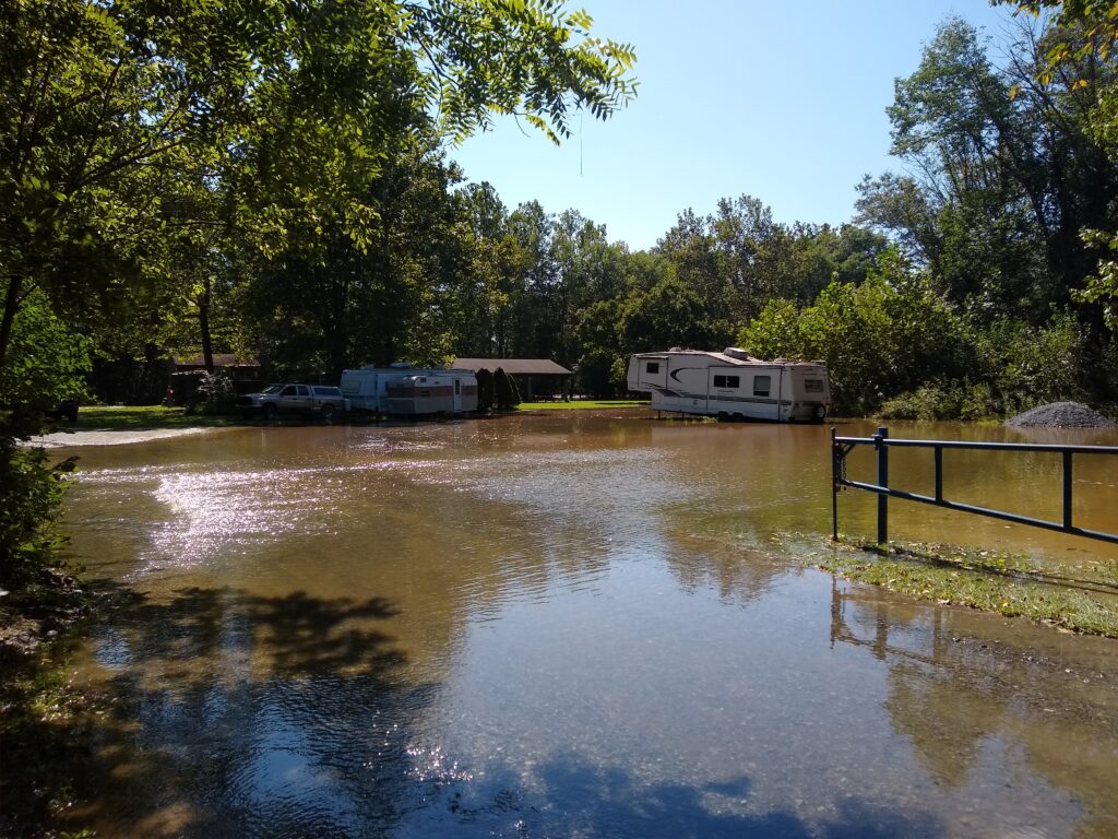
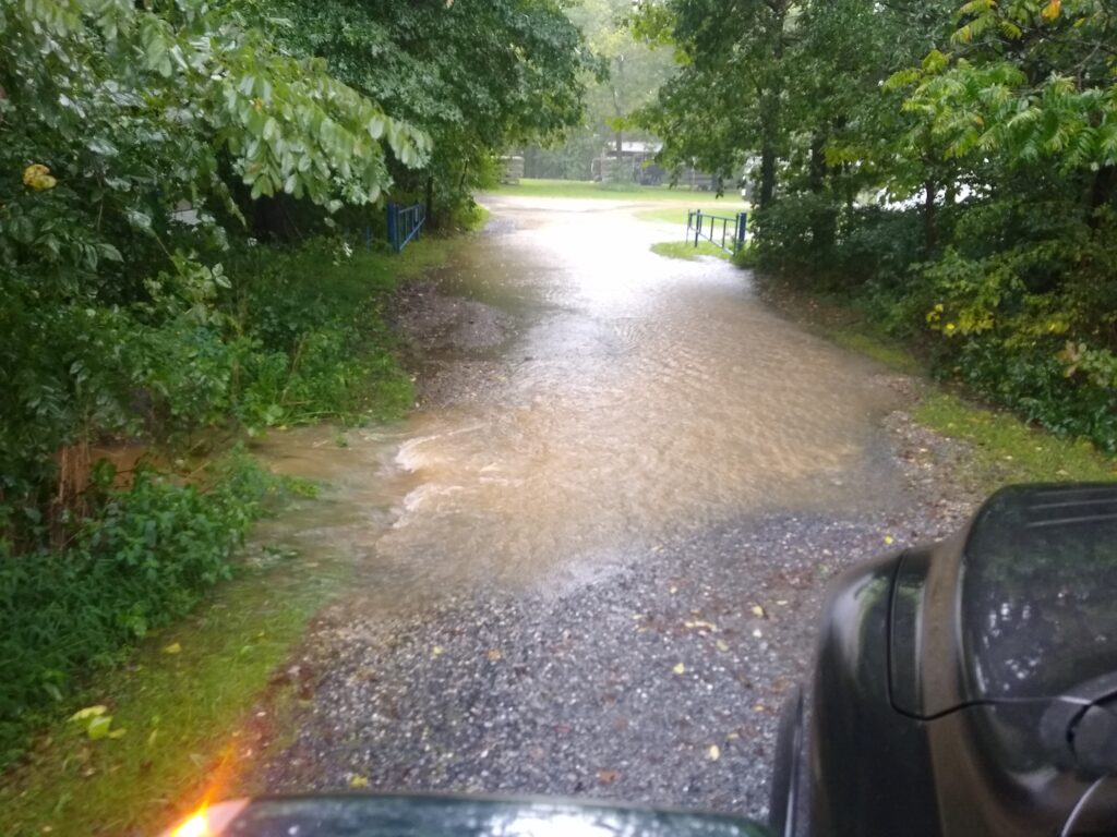
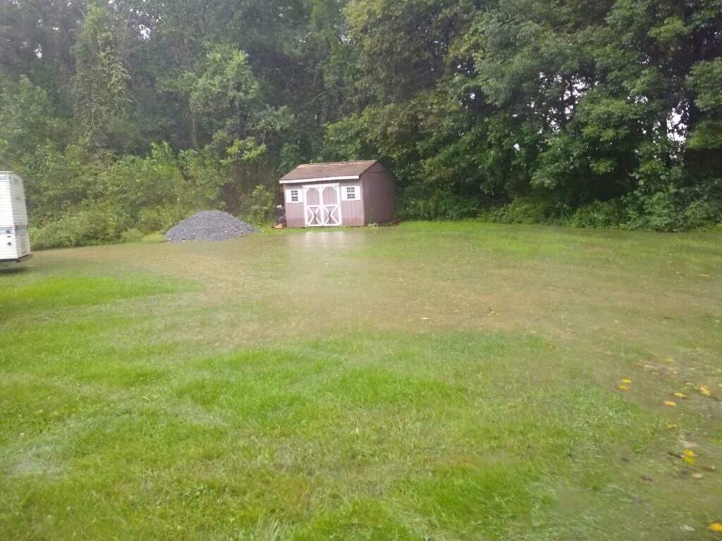
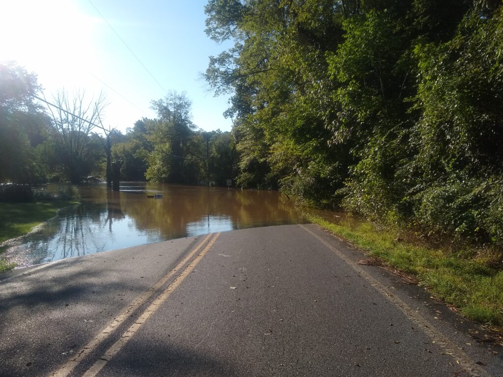
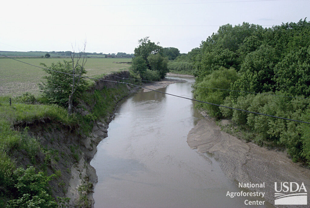
Flooding is a natural process of streams. However, due to several factors including land development and climate change, floods are increasing in frequency and intensity. Climate change has made tropical storm systems more intense. The remnants of hurricanes and tropical storms, historically, are the cause of most of the highest crests on record. Land development has created more runoff by lowering the amount of permeable surfaces in which water can infiltrate. More runoff means an increased amount of water running into streams causing water levels to rise faster and higher. Faster water causes more erosion and results in a deeply channelized stream that is increasingly cut off from its floodplain. To compound the problem, land development has occurred in the floodplain, sometimes right up to the stream bank.
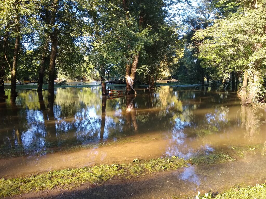
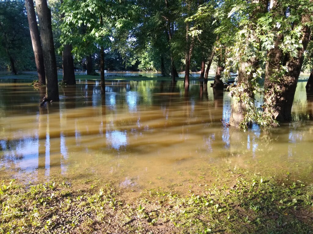
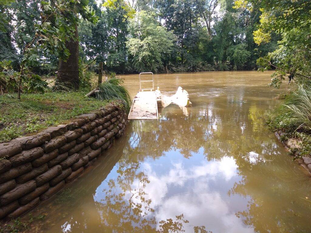
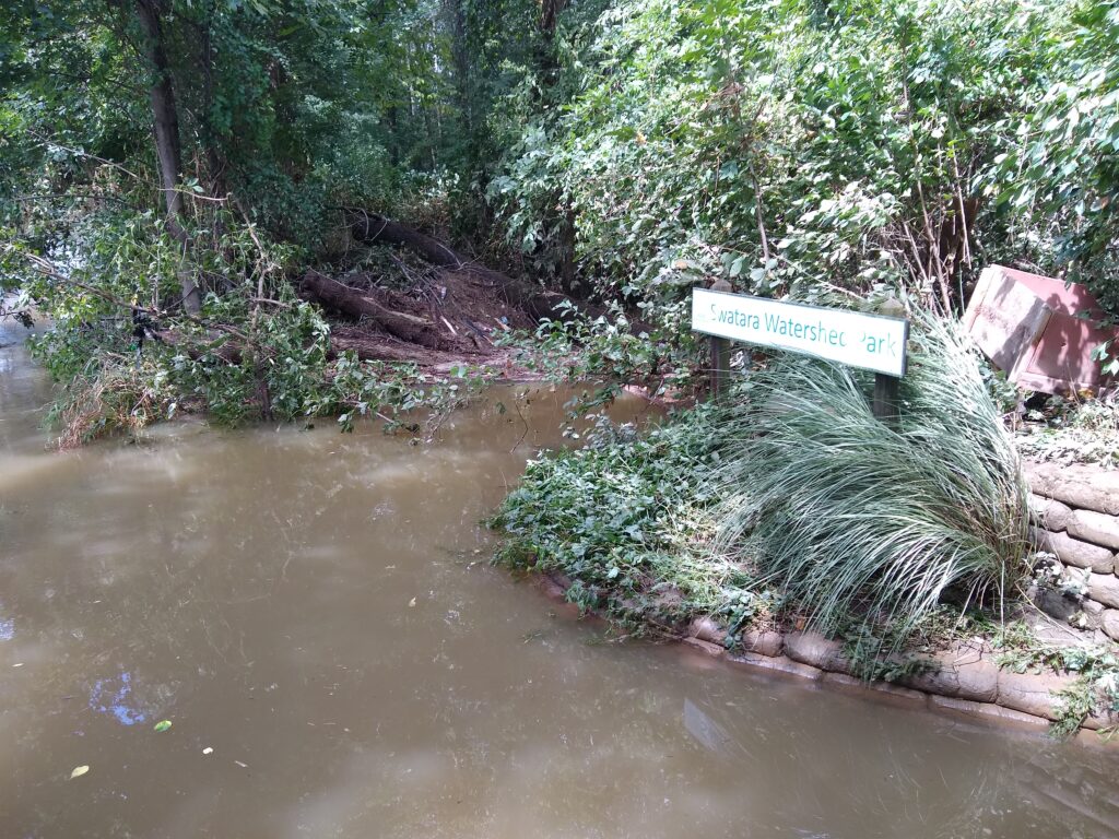
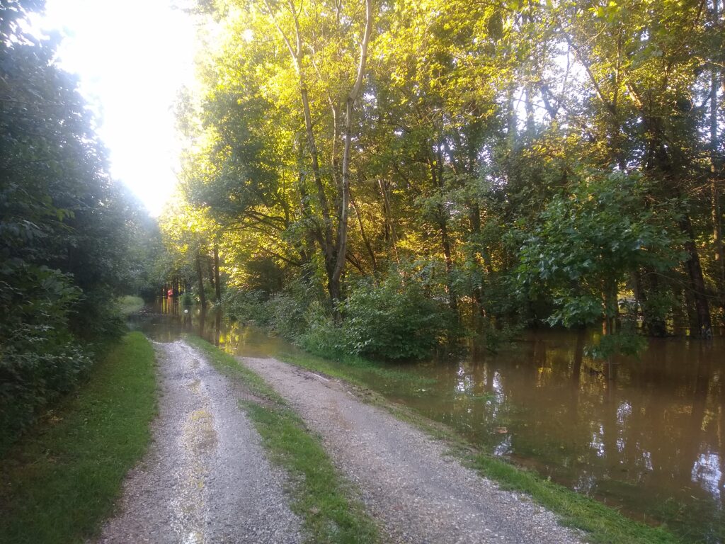
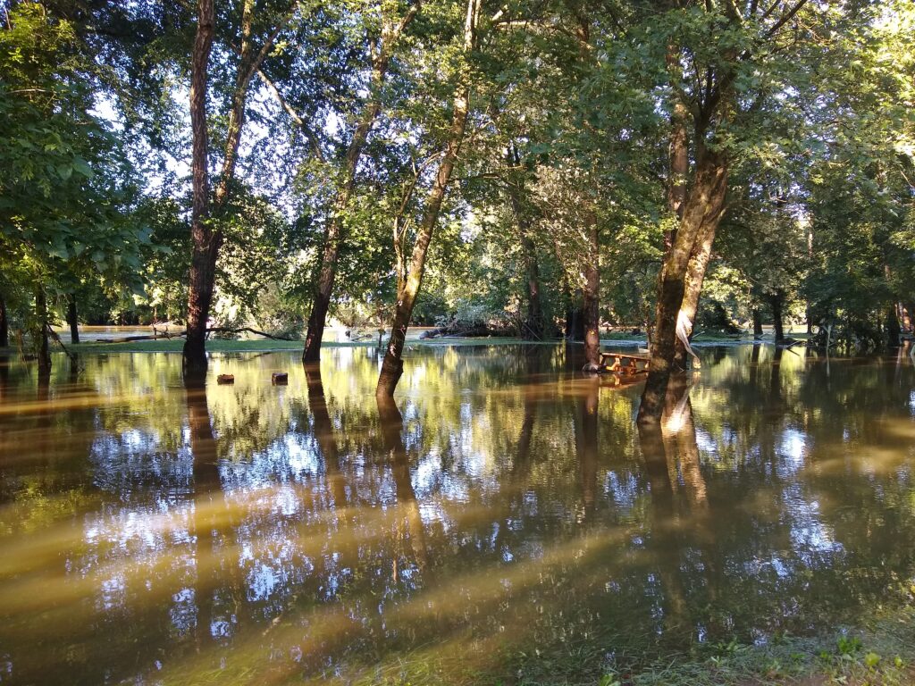
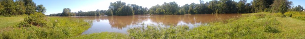
Storm water carries sediment, nutrients and pollution from the land into streams. Sedimentation clouds the water and is deposited in the stream, filling in spaces between rocks where important macroinvertebrates live. The nutrients and pollution increase algal and bacteria blooms and can contain chemicals that are unsafe for wildlife and humans.
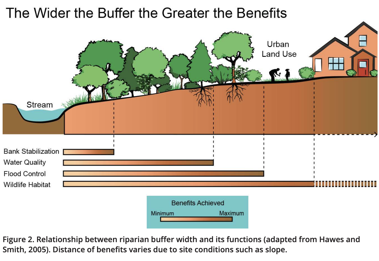
Riparian buffers
Riparian buffer is a fancy way of describing the vegetation, trees and plants, that line the banks of a body of water. Riparian buffers offer many benefits depending on the width of the buffer. By establishing, widening and maintaining the buffers along our streams, we can improve water quality by decreasing sediment by stabilizing the banks; slowing flood water, allowing water to infiltrate; by absorbing nutrients from storm water before it enters the stream and by giving wildlife increased habitat.
Flooding History
Swatara Creek Inundation Study -SRBC
At Harper’s Tavern
| Historical Crests (1) 25.60 ft on 06/01/1889 (2) 24.60 ft on 09/08/2011 (Lee) (3) 23.72 ft on 06/23/1972 (Agnes) (4) 18.28 ft on 06/29/2006 (5) 18.01 ft on 09/02/2021 (P) (Ida) | Low Water Records (1) -0.32 ft on 09/24/1980 (2) -0.30 ft on 09/04/1966 (3) -0.28 ft on 09/27/1964 (4) -0.25 ft on 10/01/1981 (5) -0.17 ft on 07/12/1975 |
| 18.0 | Widespread flooding occurs with many roads…homes and businesses affected. |
| 16.0 | Most homes adjacent to the creek are affected to some degree. Numerous evacuations are necessary. |
| 14.0 | A number of homes along the creek are affected. Some evacuations are necessary. (27 Roads closed on 9.7.11 at a height of 13.5′) |
| 12.0 | A number of secondary roads are closed…resulting in some evacuations. A few homes are flooded. |
| 10.0 | High water isolates several houses. |
| 9.0 | Several driveways and other minor roadways are affected. Water begins to enter some basements. |